
Palm Springs ZIP Coverage
Authoritative sources consistently verify one ZIP for the village. ZIP 33461 serves Palm Springs and surrounding Lake Worth-area delivery addresses. It is a USPS delivery geography, not the village boundary. No reliable official source reviewed verified a second village ZIP, a special institutional ZIP, a PO-box-only ZIP, or a Palm Springs ZIP split. That limit matters: adding codes from commercial lists would make the Palm Springs ZIP code directory less accurate.
| ZIP Code | Areas Covered | Post Office | Notes |
|---|---|---|---|
| 33461 | Palm Springs and nearby Lake Worth-area delivery addresses | Confirm the facility for each exact address with USPS | Only consistently verified village ZIP; crosses government lines |
Do not assign one post-office station to all 33461 mail. The facility must come from USPS data for the exact address, not the informal name of a contract postal counter. Likewise, preferred and acceptable city names cannot be inferred from search snippets. The narrow verified table is a strength because it states exactly what the official evidence supports.
Verify Palm Springs With USPS
Enter the complete address in the USPS ZIP Code Lookup. Retain the standardized street, directional, unit, ZIP, and ZIP+4. A missing unit can change a result for condominiums or apartments. USPS is the authority for delivery format, but it does not decide which local office keeps permits or code files.
Next search the standardized address in PAPA and record the municipality, PCN, and situs. Open the Village Boundary Limits map last. If USPS returns Palm Springs but PAPA shows another municipality or unincorporated county, use the PAPA jurisdiction for local records. If the parcel is Palm Springs but USPS prefers another postal label, use the village name for government routing and the USPS form for mail.
The manifest capture from the official USPS tool shows the address, city and state, and ZIP search routes used for this check.
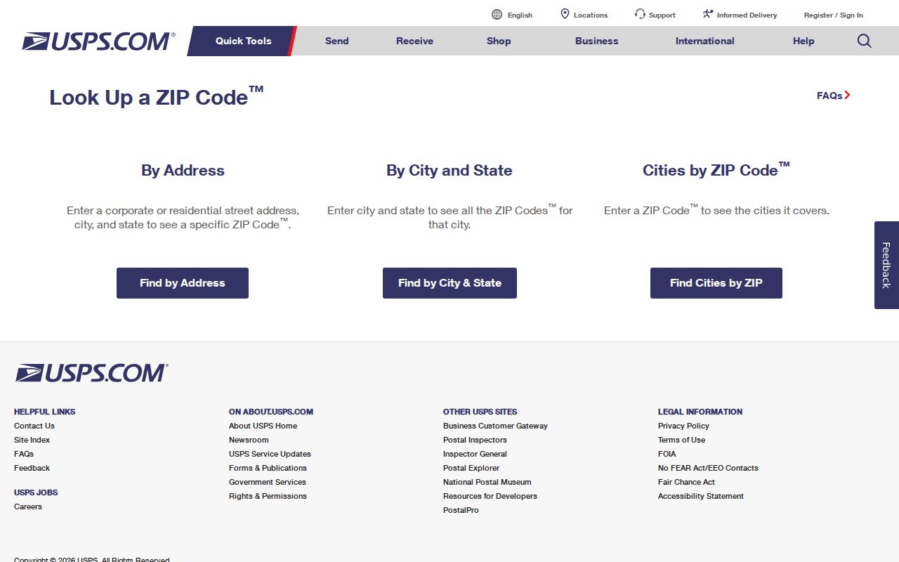
The screen reinforces why a complete address is more reliable than guessing from a city name alone.
Palm Springs ZIP Geography Shift
Palm Springs began in 1957 on 700 acres and reached about 1.6 square miles by 1997. Annexation of already developed land later expanded the village to roughly 2,712 acres, or 4.2 square miles, by 2019. A household can therefore have county permit or code history from before the parcel joined the village while retaining a familiar 33461 mailing label.
This is the main Palm Springs ZIP quirk. Official sources did not document a villagewide street renumbering. The safer historical search uses the municipality valid at the time, plus the PCN, legal description, subdivision, and plat. The 2024 annexation-priority map also shows that edge geography remains important.
Geography check. The PAPA municipality and village boundary map choose the public-record custodian; the postal city chooses mail delivery.
Find Palm Springs Residents by ZIP
PAPA Advanced Search is the broad official resident-related source with a ZIP field. Add Municipality=Palm Springs so the result does not sweep every 33461 parcel into one village list. Results can include owner, situs, municipality, PCN, mailing address, and homestead. These are parcels and owners, not a count of people or a full household directory.
- Verify the full address and ZIP+4 with USPS, saving the standardized form.
- Enter 33461 in PAPA Advanced Search and add Palm Springs in Municipality.
- Inspect the parcel map, PCN, situs, mailing address, and homestead result; do not infer unnamed occupants.
- Request an existing voter-file geography from the Supervisor when lawful. The state status tool has no public ZIP browse.
Sunbiz also permits ZIP and street-address searches for business filings. The FDLE registry has a specialized ZIP browse for its statutory public-safety purpose, not a general roll. Once a ZIP search yields a street, use the Palm Springs street directory for the address-level method.
Count Palm Springs ZIP Results
Keep denominators labeled. A PAPA export counts parcels. A voter-file extract counts registered voters. Census ZCTA 33461 is a statistical approximation and is neither the USPS ZIP nor the village limit. None of these totals is the Palm Springs population by itself.
Multifamily parcels make the mismatch clear. One owner row may represent many units, while protected or unregistered residents will not appear in voter data. Date each export and state its unit before comparing results.
A parcel export can still answer useful ZIP questions when described correctly. It can show how many returned parcels carry the chosen ZIP, which municipality each parcel reports, and whether an owner's mailing address differs from the situs address. It cannot convert ownership rows into resident totals. A voter extract answers a different question because it omits minors, people who are not registered, inactive or moved registrations, and protected voters.
Save the query settings with the extraction date. Palm Springs annexation can change the municipality attached to an address without changing its postal ZIP. A later rise in Palm Springs municipality rows may reflect a boundary change rather than new delivery geography. The legal description and PCN help track the same land across that shift.
Read Palm Springs Address Fields
Government systems use several address types. Situs or location is the address assigned to the parcel. Mailing is where the owner receives assessment notices. A legal description identifies subdivision, lot and block or survey land. The PCN uniquely identifies the county tax parcel and works with or without hyphens.
| PAPA field | How to use it |
|---|---|
| ZIP Code | Start a 33461 parcel set |
| Municipality | Keep Palm Springs government jurisdiction distinct |
| Property Type | Separate broad parcel classes |
| Condo Complex and Unit | Resolve multifamily ownership records |
| PCN | Carry the exact parcel into maps and deeds |
A postal label may remain stable after annexation while the municipality and taxing districts change. That is why a ZIP code directory cannot replace a parcel record.
Palm Springs ZIP Versus Limits
ZIP 33461 and Palm Springs do not cover identical ground. USPS sorts mail by delivery needs. The village boundary determines municipal services and which office may hold local permits, code cases, maps, and council records. PAPA supplies the municipality field and parcel map needed to reconcile them.
A Palm Springs postal label outside village limits may route older and current local records to Palm Beach County or another municipality. A parcel annexed into Palm Springs can still carry an established postal label. Check both systems and write down which authority each fact came from.
- ZIP and ZIP+4
- The five digits mark a delivery area; the added four usually narrow a delivery segment.
- PO-box ZIP
- A code used for post-office boxes. No Palm Springs-only example was verified.
- Unique ZIP
- A code assigned to one large recipient. None was verified for Palm Springs.
- Carrier route
- A postal delivery path, not a city boundary or household index.